Sarvision
SarVision is a private company founded and supported by researchers of the Wageningen
University. We are frontrunners in developing and implementing monitoring systems for
natural resources management. SarVision integrates radar data from multiple satellite
constellations with other sensors, using cutting-edge algorithms and
environmental economic accounting models.
SarVision offers automated continuous earth monitoring services, providing near real time
analytics to customers. We provide monitoring services for forests, crops and water. We provide analytical tools for nature conservation, agriculture and sustainable development. We produce wall-to-wall maps of ecosystem capital and elaborate natural capital accounts supporting accounting and valuation of ecosystem services.
Contact Details
Sarvision
Agro Business Park 10
6708 PW Wageningen
The Netherlands
Active in
Near real time forest degradation and deforestation monitoring, Johor, Malaysia (2017-2018)
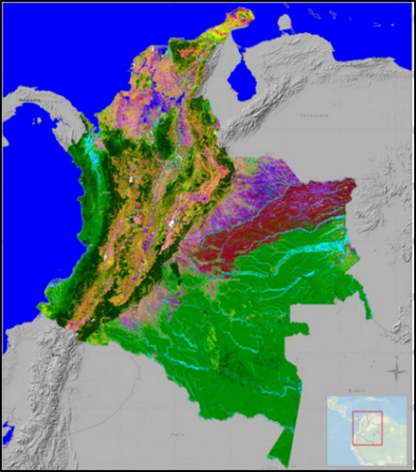
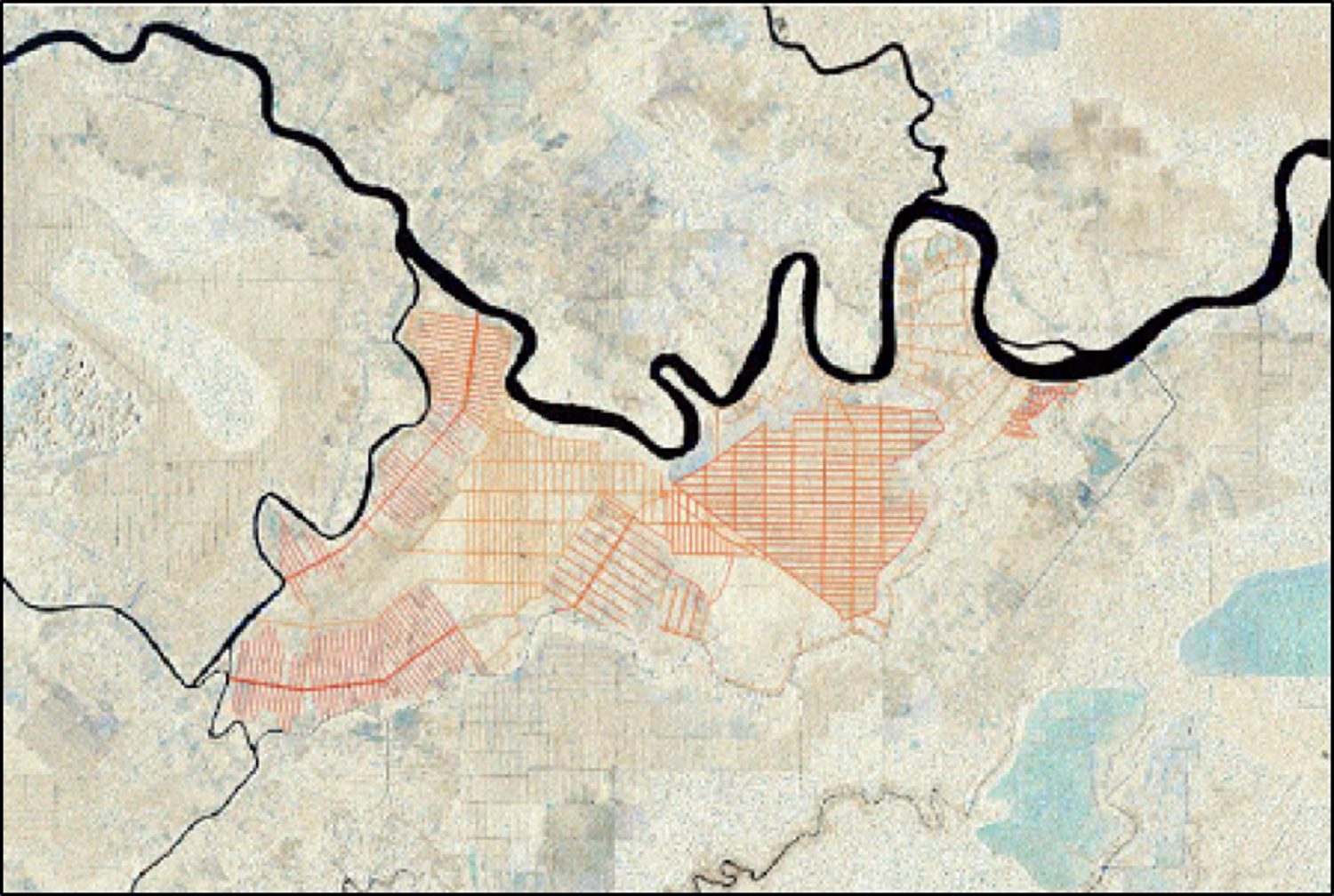
Baseline map: Land cover map of Colombia
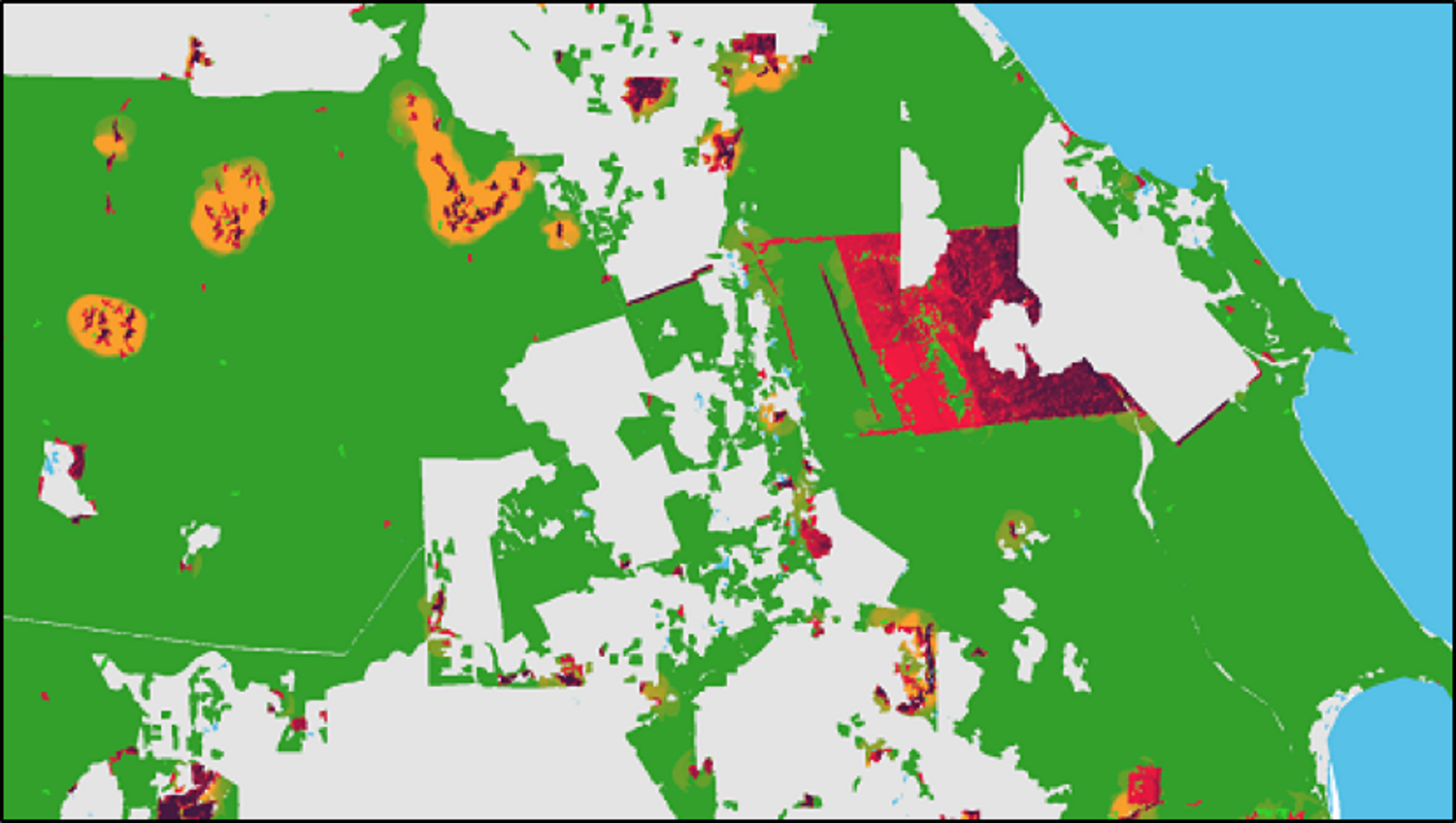
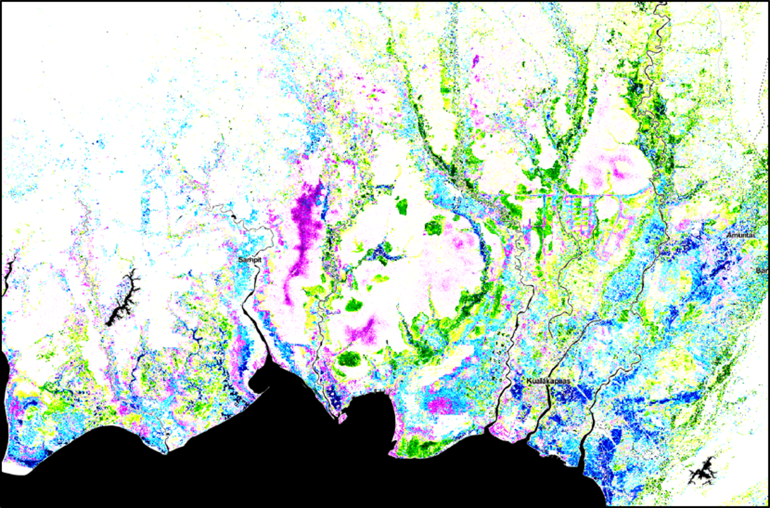
Near real time detection of drainage canals. Kalimantan, Indonesia
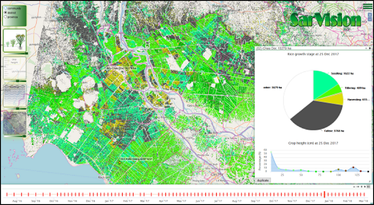
Near real time rice growth stage monitoring. Mekong Delta, Vietnam.
Flood frequency map over central Kalimantan between 2015-2019