NLSpace Directory

Satelligence

Earth Observation for natural capital.
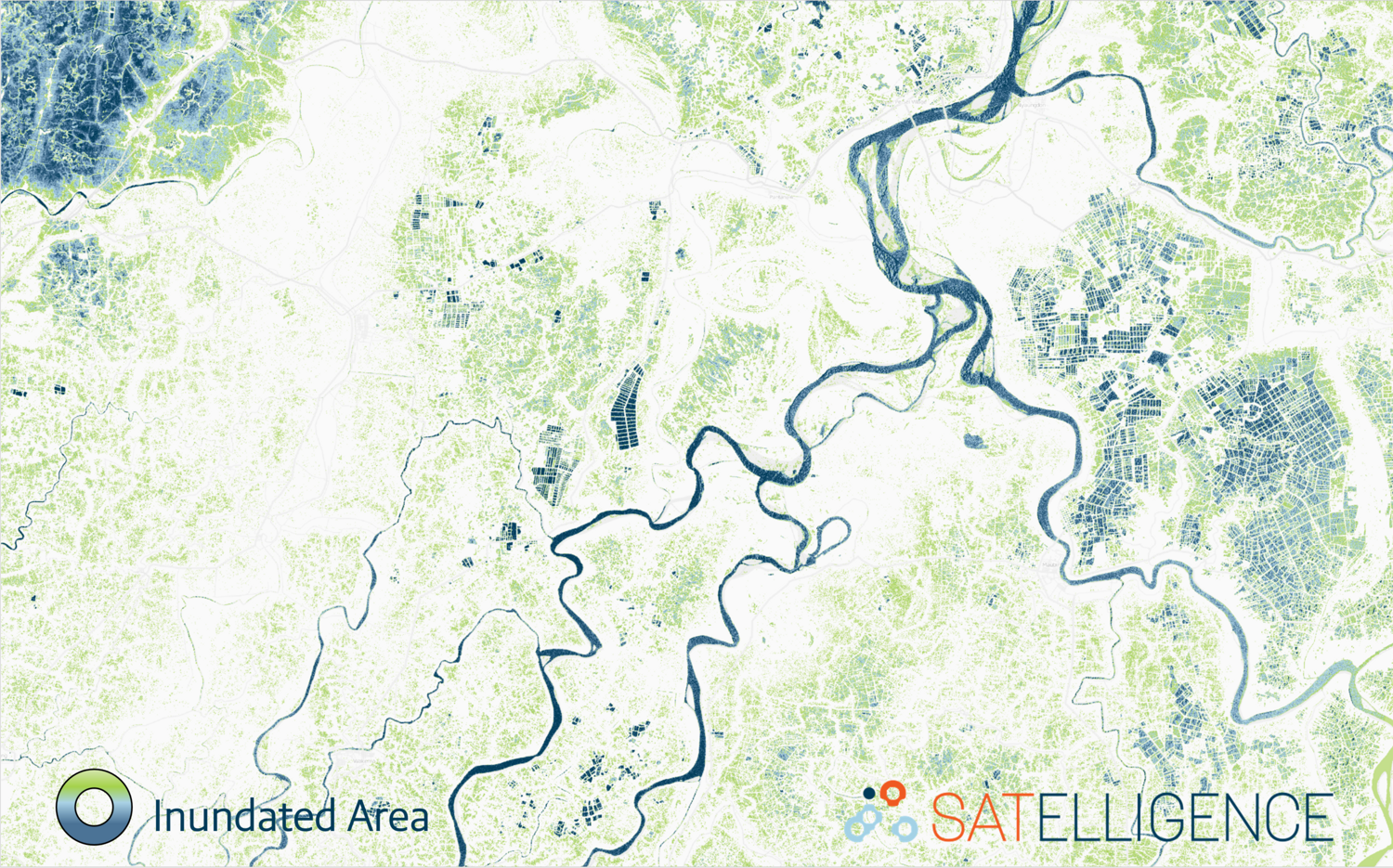
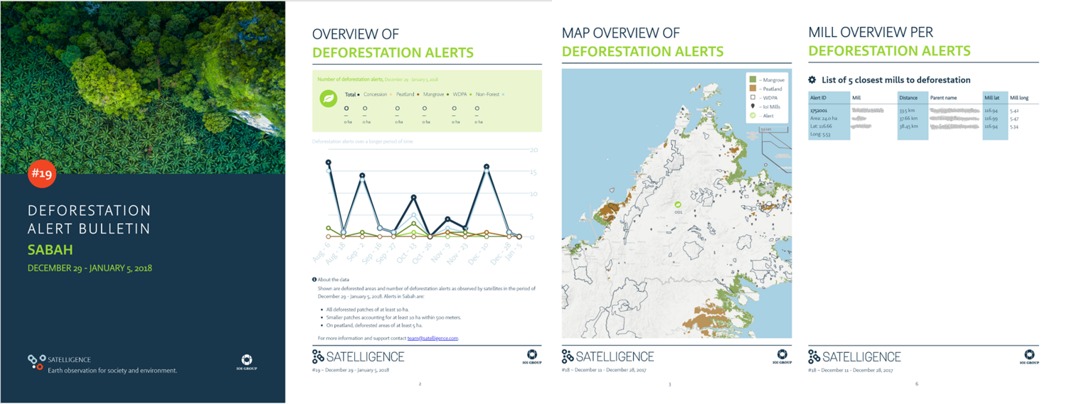
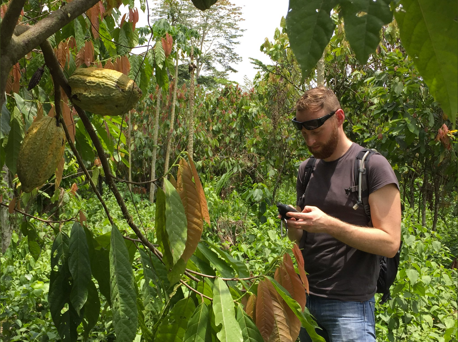
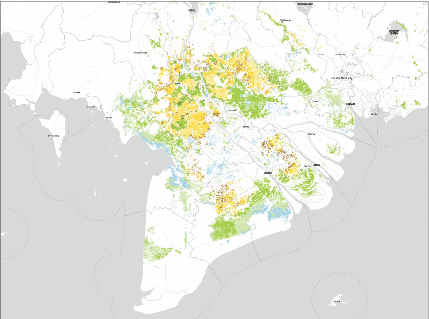
The Satelligence team has extensive experience in remote sensing, natural resource management, GIS, computer vision and machine learning. Moreover, with staff working around the globe, we know what's going on in the field. Satelligence specializes in providing highly detailed, semi-automated satellite-based insights and actionable results over large areas. Satelligence has world class expertise on scalable processing of radar and optical satellite images to assess patterns and trends in forests, agriculture and water. We deliver smart forest & commodity analytics to verify, predict and decide.
Let's work together!

Contact Details

Satelligence
Hooghiemstraplein 121
3514AZ Utrecht
The Netherlands

Active in

Satelligence has an operational inundation frequency service for large areas all around the world.
We deliver weekly deforestation bulletins with realtime, reliable and relevant deforestation alerts.
Satelligence has boots on the ground in South America, West Africa and Southeast Asia.
We detect rice growth stages in Cambodia, helping agribusinesses to optimize their logistics.