
eLEAF BV
eLEAF takes remote sensing a step further. Our Pixel Intelligence Mapping technology (PiMapping®) transforms raw satellite data into quantified crop, water and climate parameters. eLEAFs mission is to be the global reference for reliable data on water, vegetation, and climate on any land surface to support sustainable water use, increase food production, and protect environmental systems. Our clients range from agribusinesses that want to optimize crop performance at field level, to water managers focussing on sustainable water allocation at river basin scale.
Contact Details
eLEAF BV
Hesselink van Suchtelenweg 6
6703 CT Wageningen
The Netherlands
Active in

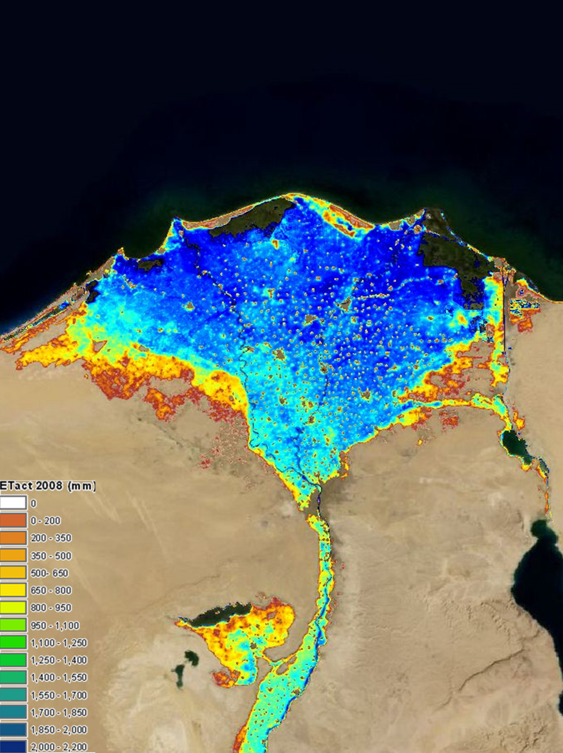
Example of large scale monitoring; Evapotranspiration in the upper Nile basin
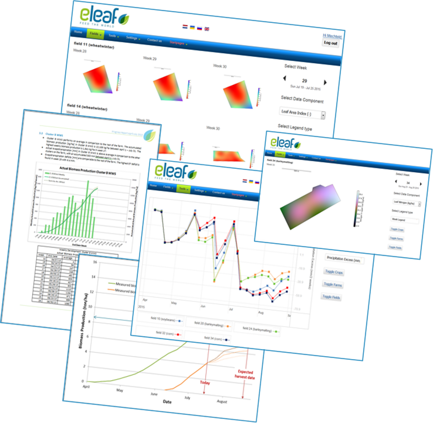
Different outputs of eLEAF’s web-based platform FieldLook
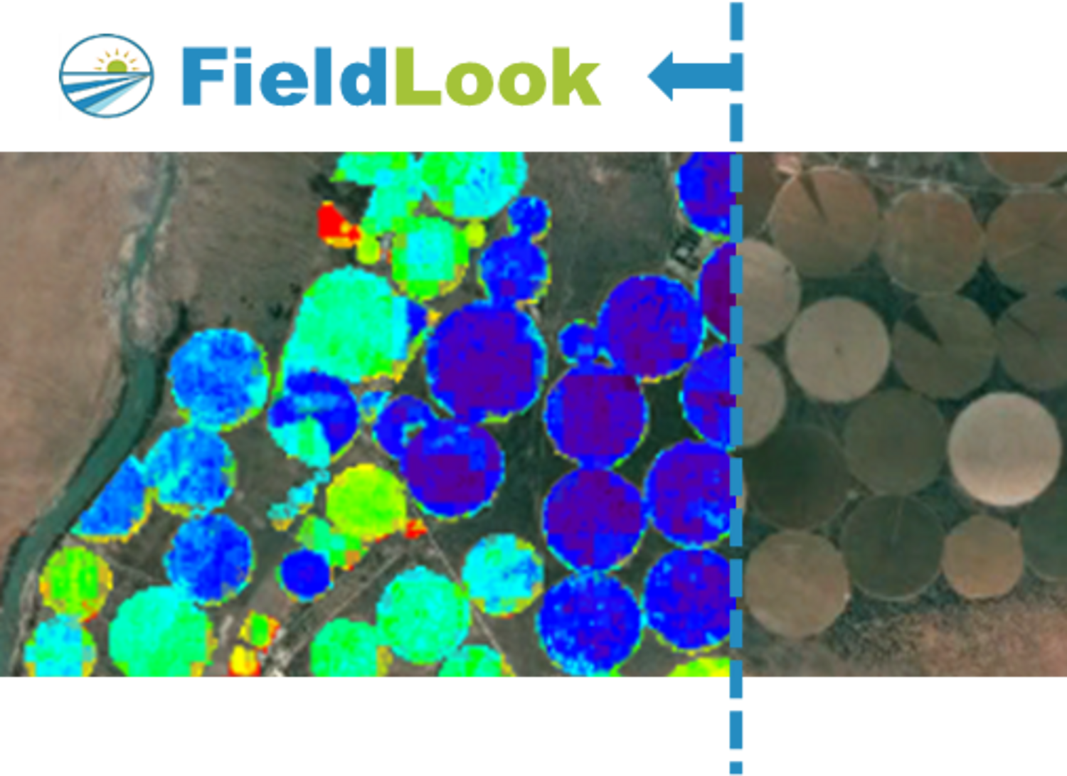
Example of individual field monitoring; PiMapping® data for irrigated pivots in South Africa
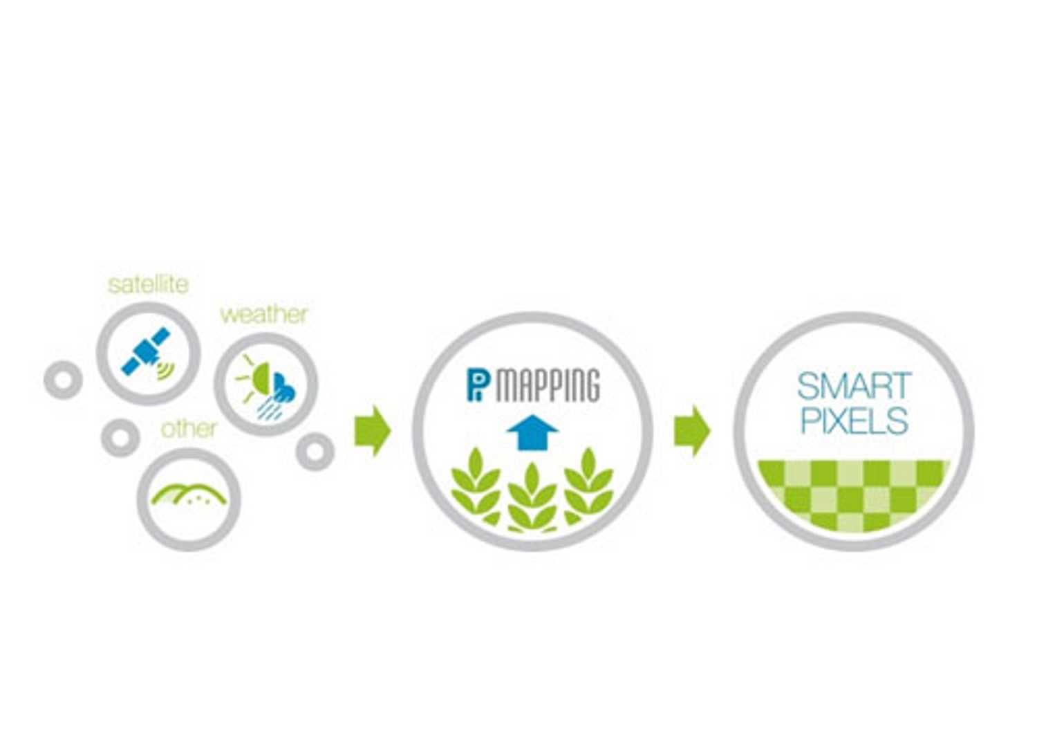
eLEAF’s PiMapping® technology