
IntellinQ
IntellinQ is the provider of GeolinQ. GeolinQ is no-code software platform to model, manage, collect, process and share spatial data. With GeolinQ's configurable data model and configurable screens, almost any customized GIS application can be realized in a very short turnaround time. Satellite data based time-series like soil deformation or water quality suppliers can be accessed via the map and additional map layers from other datasources can be added. In addition measurements and trend analysis can be plotted in the graphs.
Contact Details
IntellinQ
Vasteland 78
3011 BN Rotterdam
The Netherlands
Active in
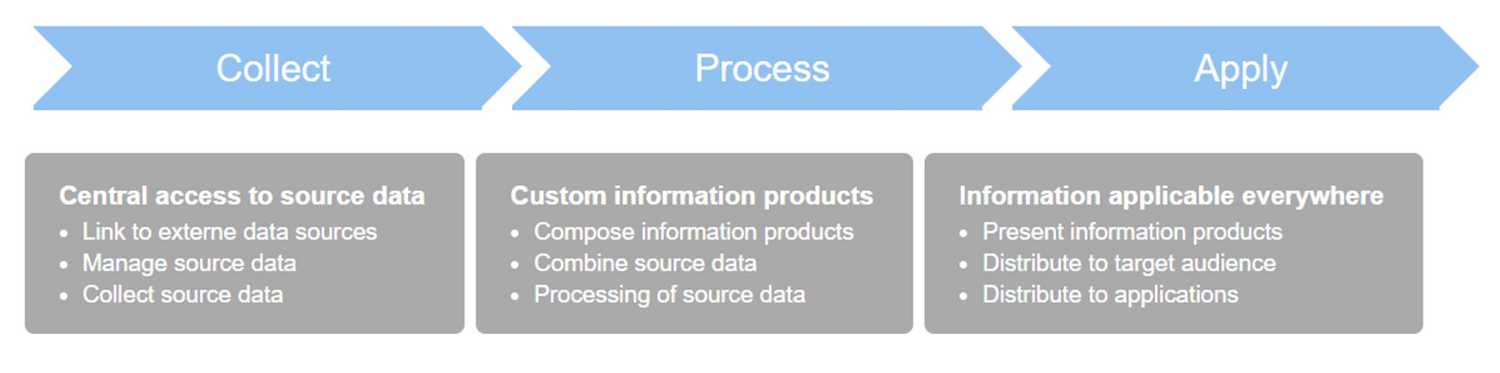
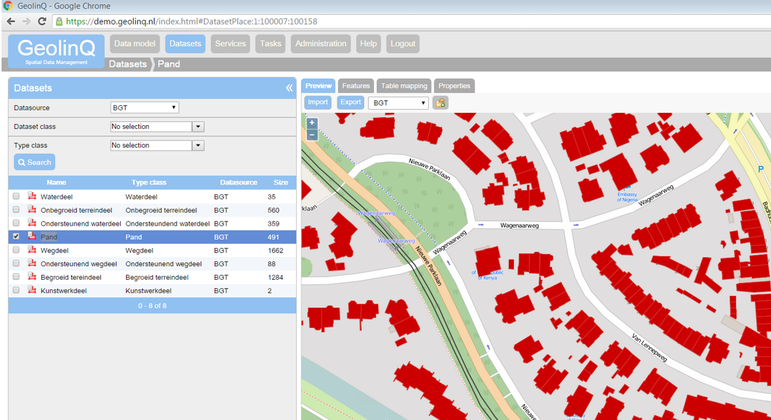
GeolinQ datamanagement concept
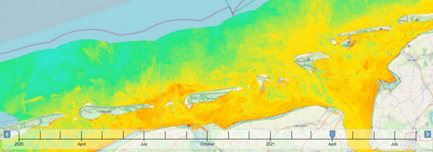
Using a time-slider to explore water quality data
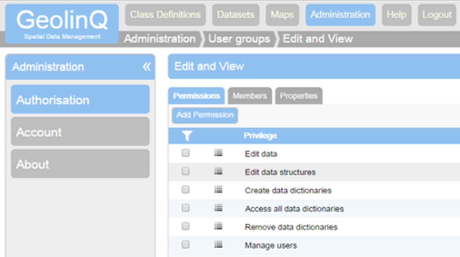
GeolinQ, autorisation functionality
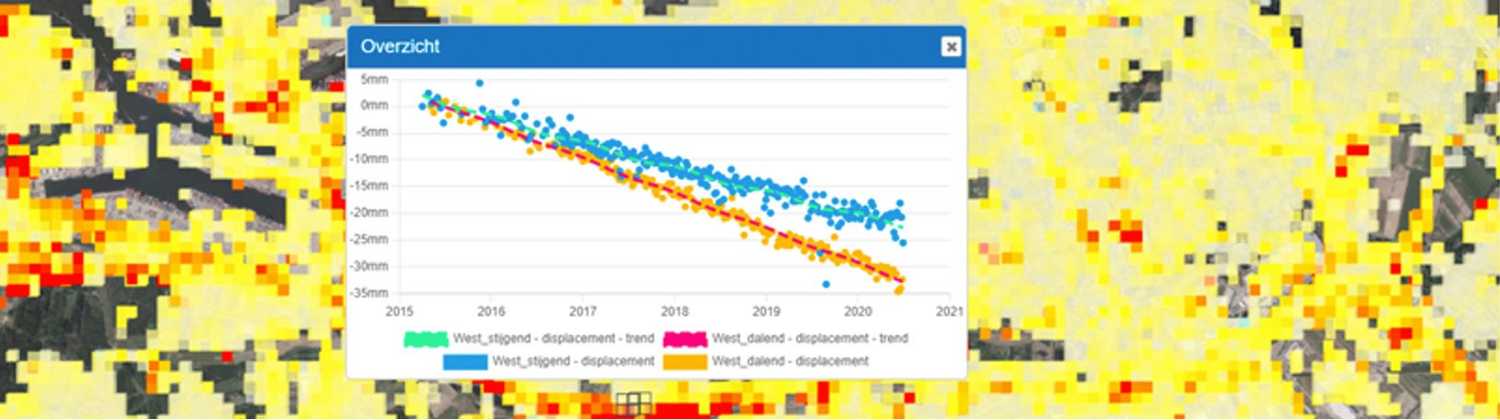
Soil deformation graphs
GeolinQ, vector data management