Image of Amsterdam taken by Copernicus Sentinel-2B satellite
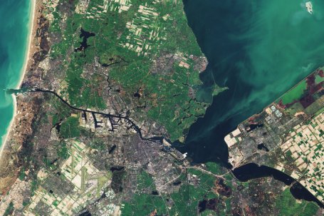
The Copernicus Sentinel-2B satellite takes us over part of the western Netherlands on 16 March, with the capital city of Amsterdam at the centre of the image.
Divided among some 90 islands, Amsterdam has more than 100 km of canals. The city lies about 2 m below sea level – in fact, around a third of the country lies below sea level, making it susceptible to floods. Rising sea waters during periods of bad weather – called storm surges – are kept under control by dams, dikes, floodgates and natural sand dunes.